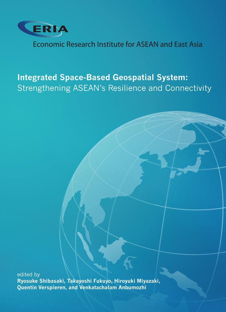
Integrated Space-Based Geospatial System: Strengthening ASEAN’s Resilience and Connectivity

Print Article:
In recent decades, regional organisations have become increasingly active in connectivity disasters. This reflects a broader growing trend of intensifying regional cooperation for building resilient communities. However, the potentials of space and geospatial technology and their role in sustainable development and strengthening resilience is not clear. They can improve the efficiency and resilience of industrial operations and effectively address issues in the regional economic integration of the Association of Southeast Asian Nations (ASEAN). This report examines the possibilities and models of transborder mechanisms to deliver geospatial and space-based information from data providers to end users in disaster-affected areas, and financial schemes involving the private sector or public–private partnerships to enable the collaborative integration of the technologies in practical ways. It provides vital information about what combinations of technologies have been applied and how they have contributed to the resilience of urban development, infrastructure planning and management, transportation management, and agricultural operations.
Full Report
Integrated Space-Based Geospatial System : Strengthening ASEAN’s Resilience and Connectivity
Contents
Chapter 1. Enhancing ASEAN connectivity through Space and Geospatial Technology
Chapter 2. Innovative SGT for the ASEAN Economy
Chapter 3. Implication on ASEAN Policies for Better Integration and Connectivity
Chapter 4. Roadmap for Connectivity Enhancement and Flagship Projects


