ERIA Hosts Final Workshop for Project on Developing Space Technology Utilisation Framework
Date:
11 November 2024Share Article:
Print Article:
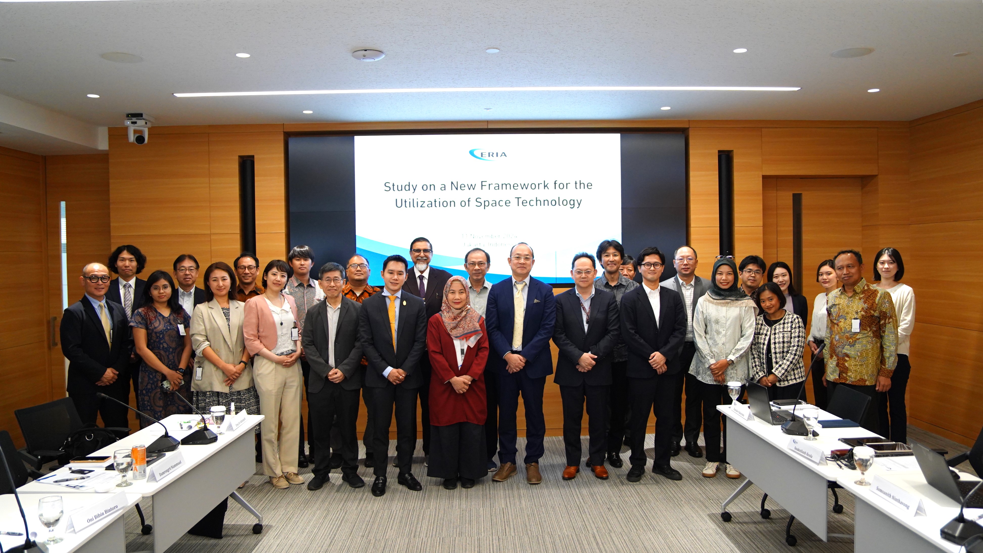
Jakarta, 11 November 2024: ERIA hosted the final workshop for the project titled ‘Study on a New Framework for the Utilisation of Space Technology: Effective Collaboration amongst Industry, Academia, and Government to Contribute to ASEAN's Socio-Economic Development’ in Jakarta on 11 November 2024. Building on insights from the mid-term workshop held in Hanoi in July 2024, the event gathered ASEAN governments and space-related agencies to present study findings and share their achievements.
The workshop also explored the future feasibility of implementing space and geospatial technology utilisation schemes through industry-academia-government collaboration, drawing from pilot projects in several countries.
On behalf of ERIA, Daisuke Nakayama, Chief Manager for Digital Innovation and Sustainable Economy, opened the workshop with remarks emphasising the role of ERIA’s Digital Innovation and Sustainable Economy Centre (E-DISC) in processing and analysing data to enable strategic decision-making and foster progress.
This was followed by remarks from ASEAN representatives: Prof. Dr Erna Sri Adiningsih, Executive Director of the Indonesian Space Agency Secretariat (INASA) under the National Research and Innovation Agency (BRIN); Dr Damrongrit Niammuad, Deputy Executive Director of Geo-Informatics and Space Technology Development Agency (GISTDA) of Thailand; Prof. Abdul Rashid Mohamed Shariff from Universiti Putra Malaysia; Dr Lam Dao Nguyen, Director of Space Technology Application Center at the Vietnam National Space Center; Dr Liew Soo Chin, Principal Research Scientist and Head of Research at the Center for Remote Imaging, Sensing, and Processing (CRISP), National University of Singapore; and Dr Ariel Blanco, Director of Remote Sensing at the Philippine Space Agency.
The workshop consisted of four sessions. The first featured a keynote speech by Takashi Takeda, Deputy Director of the Space Industry Division at the Japan’s Ministry of Economy, Trade and Industry (METI). Takeda outlined Japan’s space policies and international collaborations, highlighting a ¥126 billion (approx. US$817 million) allocation for advancing satellite constellations, developing components, and demonstrating practical use cases globally.
In the second session, Yoshinori Kobayashi, Director of the Japan Space Forum and project coordinator, provided an overview of ERIA’s objectives and the progress of the project, including outcomes from previous workshops. Kobayashi outlined activities that applied space technology in ASEAN, setting the stage for detailed presentations in the following session.
The third session focused on pilot project findings. Dr Shinsaku Nakamura from Japan Space Systems and Naoko Shimmi from ArkEdge Space shared results from a maritime observation project in Bali, which used geospatial technology to protect marine resources and combat piracy. This was followed by Dr Amandangi W. Hastuti from the Ministry of Marine Affairs and Fisheries of Indonesia and Prof. Masahiko Nagai from Yamaguchi University, who showcased findings from projects addressing coastal erosion in Bali and monitoring seaweed farms in Palawan, Philippines. These projects provided recommendations for addressing environmental damage caused by coastal erosion and coastal development. Koji Takahashi and Dr Yoshiko Maeda then presented a project on peatland management – led by Sumitomo Forestry and Kokusai Kogyo – which explored the use of space technology to manage peatland and support conservation efforts, including forest fire detection and soil moisture estimation. Finally, Ayaka Iwatani and Keizo Fujiwara from Synspective Inc. presented results from a disaster management project, indicating the feasibility of using satellite remote sensing technology in addressing land subsidence.
The final session, moderated by Prof. Masahiko Nagai, delved into socio-economic challenges in ASEAN and the potential of space technologies to address them. Key proposals included initiatives for talent development, specialised training, and the establishment of an open innovation centre focused on geographic information systems and remote sensing for ASEAN. Fitri Aprilianty from Institut Teknologi Bandung presented a patent landscape report, shedding light on trends in remote sensing and space technology applications across the region. The session was followed by an engaging discussion amongst participants. The workshop concluded with a networking dinner, providing an opportunity for participants to connect and exchange experiences.
